Dalton Highway (Haul Road) Corridor Map for GPS and Google Earth
The area around the Dalton Highway (aka Haul Road) in northern Alaska is popular for caribou, moose, bear, and sheep hunting, but it's illegal to hunt with a firearm within 5 miles of the road (the "Dalton Highway Corridor" area), so gun hunters have to walk out 5 miles.
Normally, it's hard to be sure where that 5-mile boundary is. With this map on your GPS, it's easy.
What's in this map- The exact boundary of the 5-mile corridor on both sides of the road.
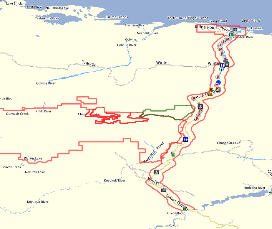
- The boundary of the Prudhoe Bay Closed Area, in which no big game hunting (gun or bow) is allowed.
- The boundaries of Gates of the Arctic National Park (no hunting) and Itkillik Preserve (hunting allowed).
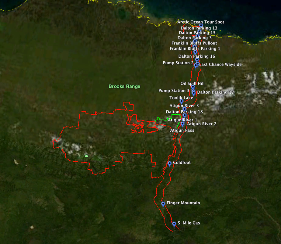
- Several (not all) landmarks, rest stops, gas stations, and other points of interest.
- .GPX: Compatible with any modern GPS unit. This file contains the boundaries as GPS tracks (rather than some proprietary map format) so they're easy to load onto any mapping GPS and take out in the field.
- .KMZ: Google Earth version of the same information, to help plan your hunt at home.
Purchase the map for $19.95 with your credit card or PayPal account.

The transaction is handled by PayPal and file delivered by FetchApp, so it's all safe and secure.
You'll receive a zip file containing the map in both file formats.
This download includes the colored boundaries and waypoints shown below. It does not include the base maps -- it's intended to be used on top of the ones you already have.
Why you should have this tool
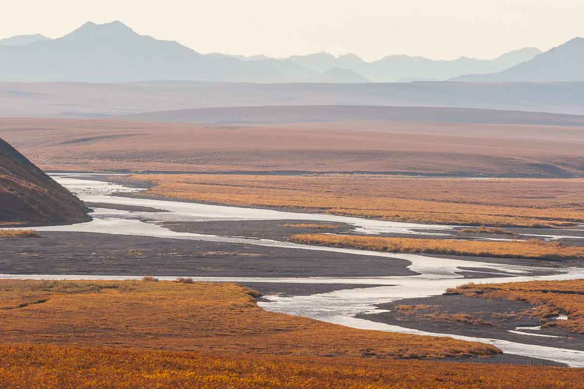
 Caribou move across the tundra with effortless speed.
Shot opportunities can come and go in a matter of seconds. When you put in the legwork through miles of basketball-sized tussucks
to get out near the edge of the 5-mile corridor, the last thing you want is to hesitate when opportunity knocks, to be stuck fiddling
with your GPS's measurement feature. This map takes the guesswork out of knowing when you're legal and allows you to move ahead with the stalk when the time comes.
Caribou move across the tundra with effortless speed.
Shot opportunities can come and go in a matter of seconds. When you put in the legwork through miles of basketball-sized tussucks
to get out near the edge of the 5-mile corridor, the last thing you want is to hesitate when opportunity knocks, to be stuck fiddling
with your GPS's measurement feature. This map takes the guesswork out of knowing when you're legal and allows you to move ahead with the stalk when the time comes.
If you're out there at 7 or 8 miles, you'll know you're legal regardless. But it's common to stop and camp right at 5, then wake up to caribou outside the tent within a few hundred yards of the border. Without a high-resolution map, that's all a big gray area, where a hunter who respects the regulations feels uneasy taking a shot. With this map, you can be confident where you stand.
Precision and construction details
The boundary lines are made of points spaced roughly every 50 yards, and each point is between 5 miles 50 feet and 5 miles 68 feet from the nearest point on the midline of the road. The 50 foot cushion from the midline represents half the legal width of the road, and the other 18 feet account for the maximum possible geometric error in the calculation.
The data for the road midline is publicly available survey-grade GPS data from the Alaska Department of Transportation, via the Alaska Geospatial Data Clearinghouse. Based on that midline, the 5-mile corridor boundary was calculated using a proprietary algorithm (it's a much more difficult math problem than it seems).
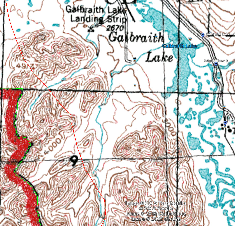
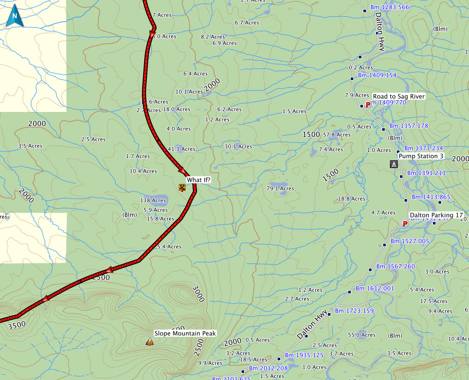
Notice how irregular the corridor boundary is here, in one of the many places where the road curves a lot. That's why it's so difficult to know where it is without this download.
Installation and usage tips
These maps should work with any modern GPS software. I can't provide instructions for all of them, but it should be very easy if you have basic familiarity with how to work with tracks and waypoints. Here are the basics in the software I use:
Start by unzipping the download and putting the .GPX and .KMZ files wherever you want to keep them.
Google Earth- From the File menu, choose Open, and select the .KMZ file from the download.
- The folder "Dalton Hwy Hunting Map" should show up under "Temporary Places."
- Right-click it and choose "Save to My Places."
- From the File menu, choose Import, and select the .GPX file from the download.
- Under "My Collection" on the left side of the screen, choose "Recently Imported from Dalton Hwy..."
- From the "Edit" menu, choose "Select All"
- Click & drag (or copy & paste) the selected tracks and waypoints onto the permanent collection you want.
- With your GPS unit connected, repeat the above step to drag them onto the GPS unit itself.
- Double-check that you loaded them correctly before you leave home!
- This download gives you an accurate boundary on a map, but you still need to use it responsibly: make sure your GPS has a good fix on your location, that your animal isn't standing inside the corridor while you're shooting from outside, etc. This map is not meant to encourage people to shoot things ten feet outside the corridor, but instead to give you peace of mind when you're a few hundred yards to a mile outside it.
- Since these data are technically loaded onto your GPS as tracks, not maps, make sure you don't use your "clear all tracks" feature and accidentally delete it.
Purchase
Again, the map is just $19.95
Questions? Comments? Email me.